

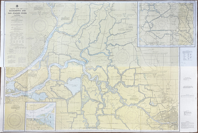
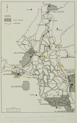
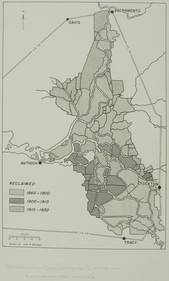
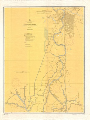
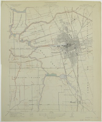
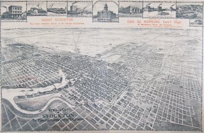
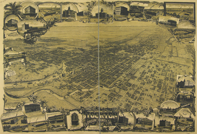
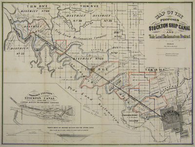
The Sacramento-San Joaquin Delta covers nearly a thousand square miles between Stockton, Sacramento, and Pittsburg in the middle of California's Central Valley. These maps were carefully selected from the Holt-Atherton Special Collections map and manuscript collections. The Delta's environmental, hydrological, agricultural, recreational, historical, and political story is illustrated in these cartographically rich representations of the region.
Printing is not supported at the primary Gallery Thumbnail page. Please first navigate to a specific Image before printing.
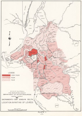
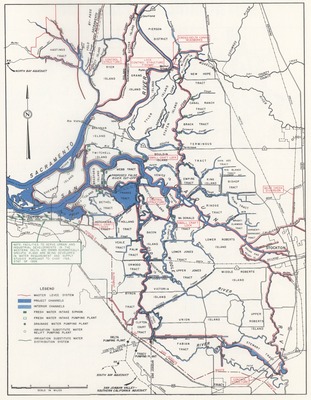
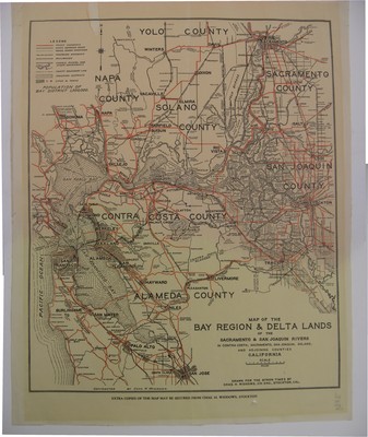
 by Department of Water Resources")

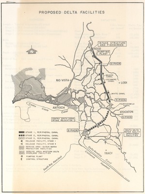
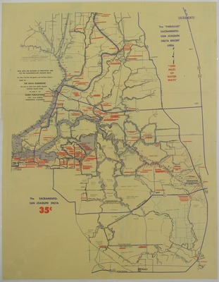
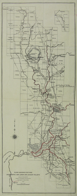
 by Department of Water Resources")
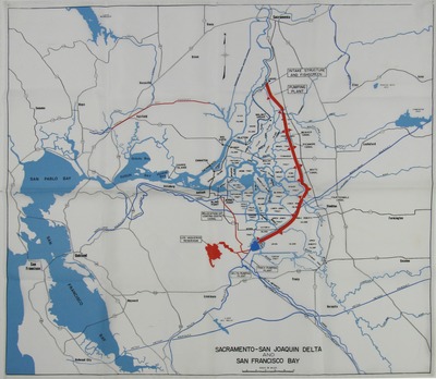
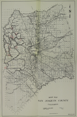
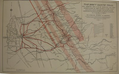
 by Unknown")


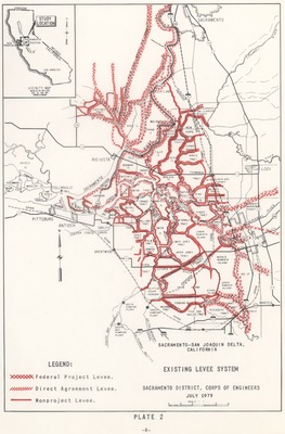
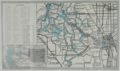
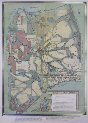
 by Department of Water Resources")


![1000 [one thousand] miles of Navigable Inland Fresh Waterways of the San Joaquin Delta by Stockton Chamber of Commerce](https://scholarlycommons.pacific.edu/msjsd/1021/thumbnail.jpg "1000 [one thousand] miles of Navigable Inland Fresh Waterways of the San Joaquin Delta by Stockton Chamber of Commerce")


