

Preview
Circa Date
circa 1887
Transcription
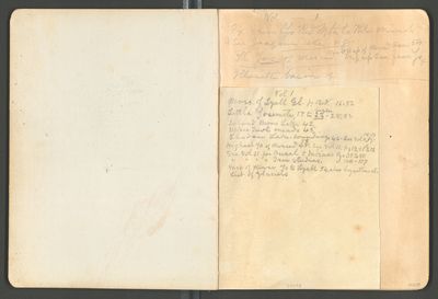
Vol [Volume] -1
Ex [example] from Yo [Yosemite] Red Mtn [Mountain] to Ritter Minarets
N [North] San Joaquin etc [vg].
The Yos [Yosemite] of Merced. Map of Merced Can. [Canyon] 54 trip up Can [Canyon] from Yo [Yosemite] g
Illouette [Illilouette] basin g
Vol [volume] 1
Mors. [moraines] of Lyell Gl. [Glacier] pg. 12. g. 16, 52
Little Yosemite 17 to begin 22 – 28, 52
Island Mono Lake 42
[Upper] Tuol [Tuolumne] meads [meadows] 45
Shadow Lake. soundings 46-See Vol 11, pgs 16-17
Highest Yo [Yosemite] of Merced 48 55. See Vol 11. pg 19 & 15 to 12
See Vol [volume] 11 for [Ousel] & Indians Pgs 35 to 80
” “ “ “ Tree studies. “ 100 “ 107
Map of River Yo [Yosemite] to Lyell 54. also bryanthus etc
List of glaciers
00078
Date Occurred
1873
Resource Identifier
MuirReel32 Notebook02 Img002.Jpeg
Contributing Institution
Holt-Atherton Special Collections, University of the Pacific Library
Rights Management
To view additional information on copyright and related rights of this item, such as to purchase copies of images and/or obtain permission to publish them, click here to view the Holt-Atherton Special Collections policies.
