

Preview
Transcription
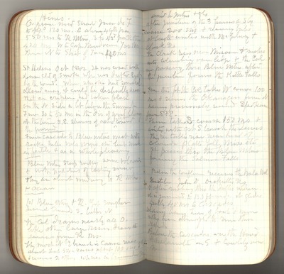
Hines O. from mid straits Juan de F [Fuca] to 49 [degrees] 120 ms [miles] E along 49th par [parallel] 550 ms [miles] to R. Mtns [Rocky Mountains] S to 42nd par [parallel] then 420 ms W. to Cape [ ] 700 ms. Then N to Strait of Juan 440 ms. St Helens Oct [October] 1842 It was [covered] with dense cld [cloud] of smoke wh [which] was drifted East by the wind. When smoke had somewhat cleared away it could be distinctly seen that an eruption had taken place on the N. [North] side a bit below the summit. From 30 to 50 ms [miles] in the dir [direction] of wind blowing at the time S.E. showers of ashes fell & covered the ground. From Cascade to Blue Mtns [Mountains] [meet] with rocks, hills vals [valleys] [gorges] etc. but much infertile & as a whole pleasing. Blue Mtns. [Mountains] steep rocky [ ] volcanic & with patches of lasting snow they are about midway |0| [between] R. Mtns [Rocky Mountains] & ocean. |0| [Between] Blue Mtns. & R yet rougher dismal [towards] S. better N. The Col [Columbia] drains nearly all O [Oregon] like other large rivers draws its [sources] from R. Ms [Rocky Mountains]. The most Nly [Northerly] branch is Canoe River about lat [latitude] 54—runs about 100 ms [miles] [ ]& [receives ] 2 others wh [which] rise in tremendous gorge
[amid] the mtns [mountains] & gls [glaciers] After junction of the 3 passes a Sly [Southerly] course 200 ms [miles] & [rearing] tribs [tributaries] at length unites with McGilevry & Clark Rs [Rivers] The Clark rises near [Missouri] & rushes into Columbia over ledge & the Col [Columbia] in passing thru [through] Blue Mtns after the junction forms the Kettle Falls. From this pt [point] the Col [Columbia] takes W course 100 ms [miles] & [runs] the Okanogan from N having previously [received] Spokane from S. & E. Then takes [S] course 150 ms & unites with [great] S. branch the Lewis. This riv [river] takes rise near head of Columbia Platte Yell [Yellowstone] Miss [Missouri] etc. It passes thru [through] the Blue Mtns forming the Salmon Falls. Below the confluence receives the Wala Wal [Walla Walla], [Umatilla], John D [Day], Dechuttes [Deschutes] Rs [Rivers] & after rushing thru the Dalles where it is [grown] to 150 ft. wide it glides gently 40 ms to Cascades. Many [ ] here of boats & men who have attempted to run these rapids. Below the Cascades are the [Hood] & [Willamette] on S. & Cowlitz on N.
Date Original
1888
Source
Original journal dimensions: 8.5 x 14.5 cm.
Resource Identifier
MuirReel27Journal05P56-57.tif
Publisher
Holt-Atherton Special Collections, University of the Pacific Library
Rights Management
To view additional information on copyright and related rights of this item, such as to purchase copies of images and/or obtain permission to publish them, click here to view the Holt-Atherton Special Collections policies.
Keywords
John Muir, journals, drawings, writings, travel, journaling, naturalist
