

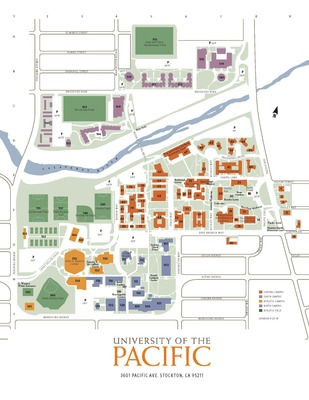
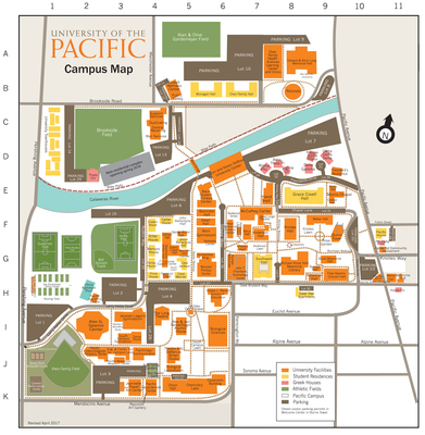
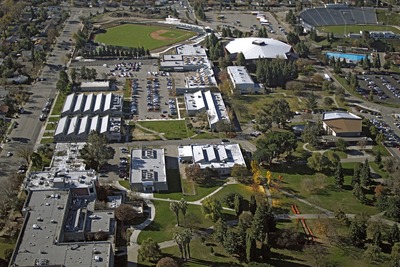
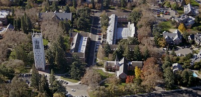
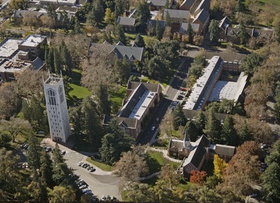
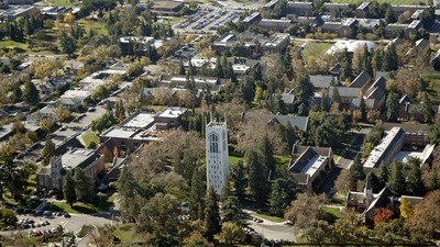
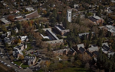
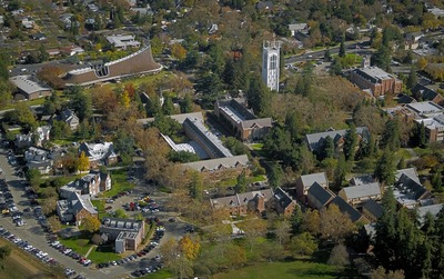
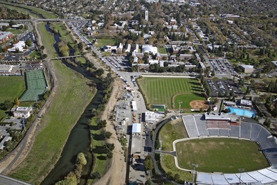
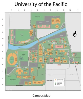
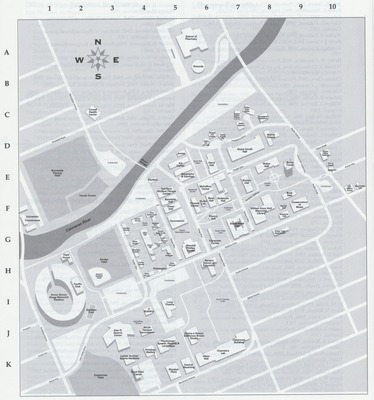
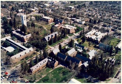
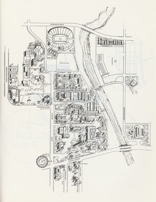
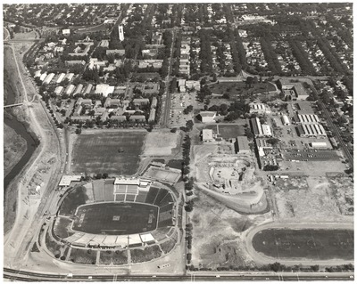
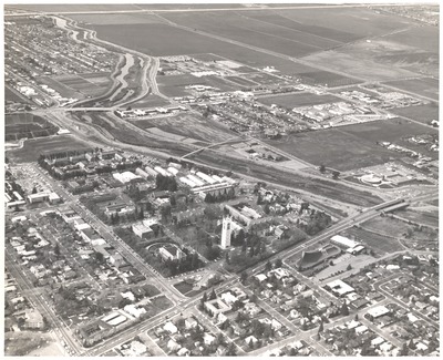
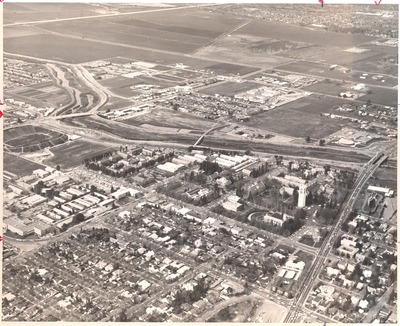
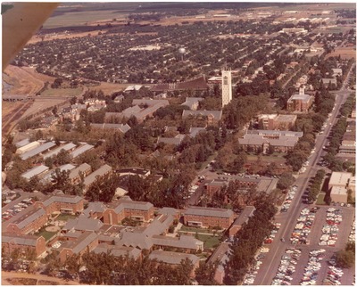
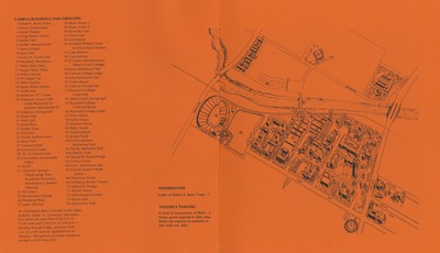
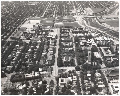
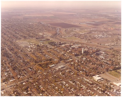
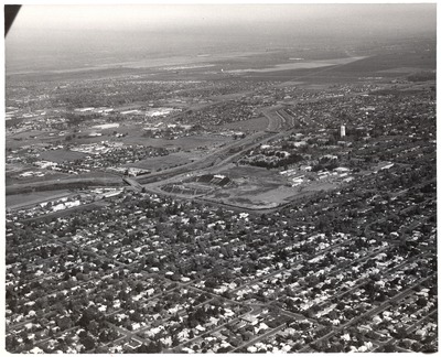
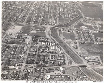
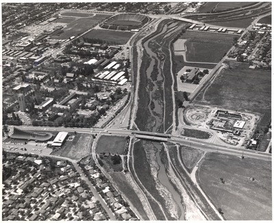
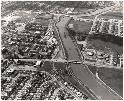
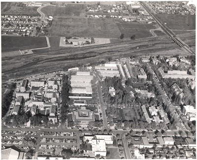
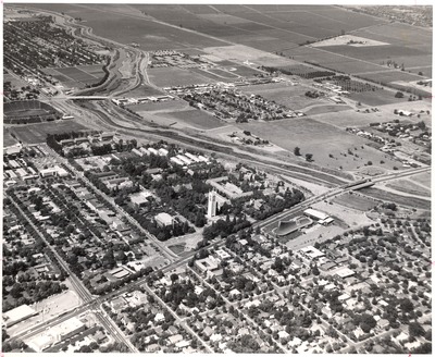
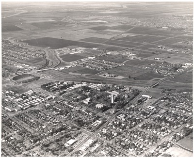
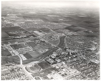
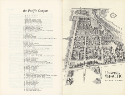
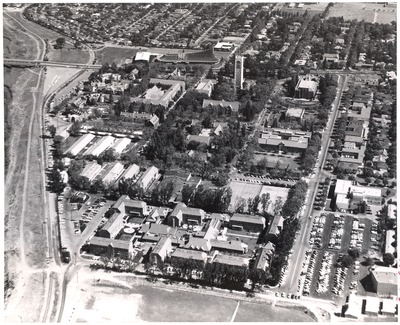
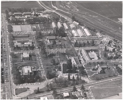
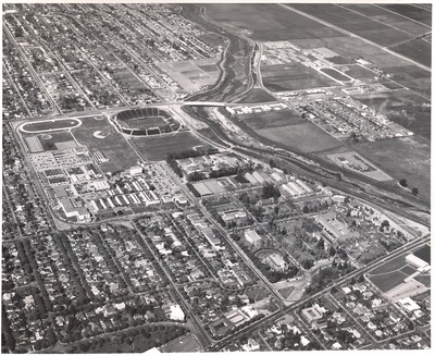
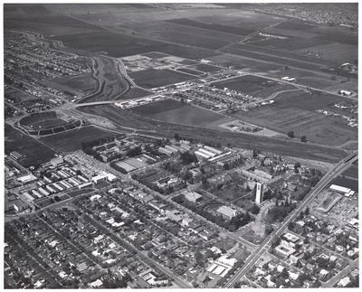
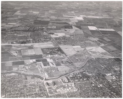
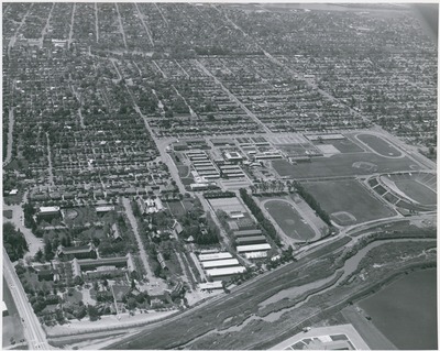
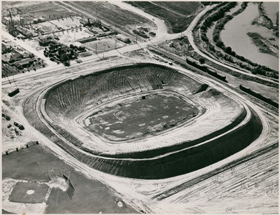
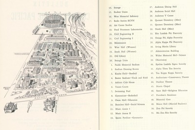
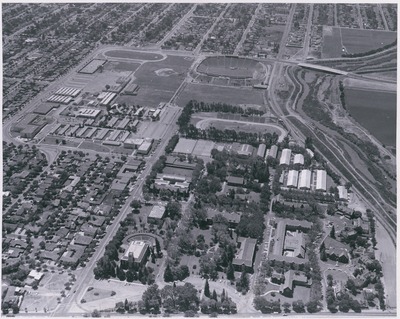
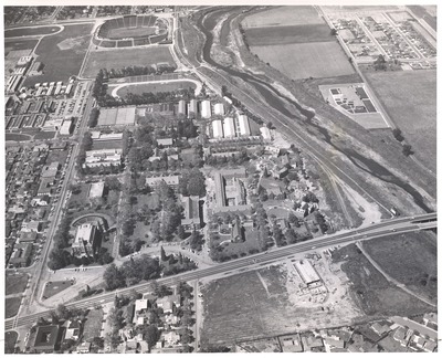
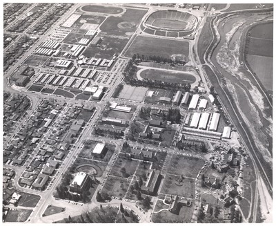
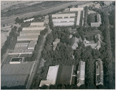
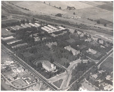
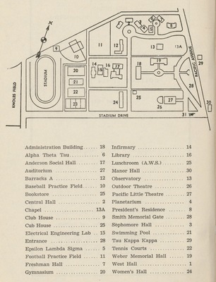
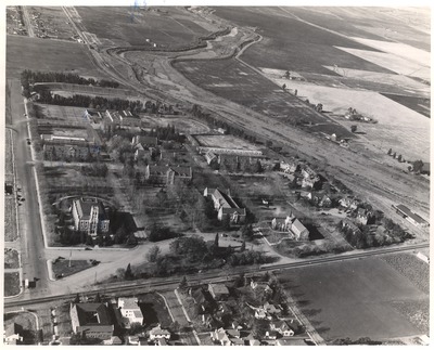
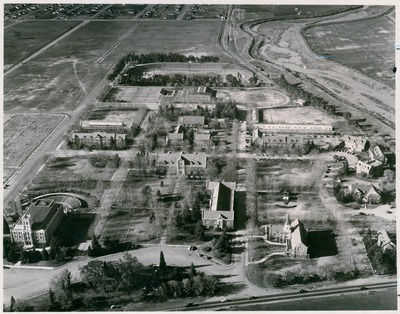
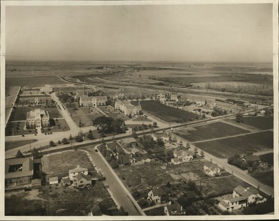
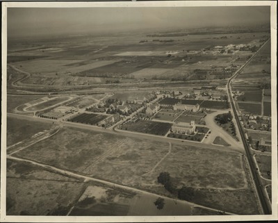
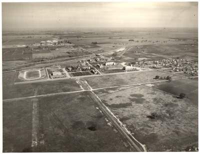
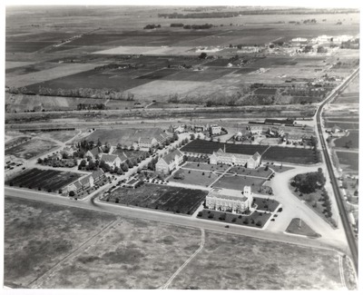
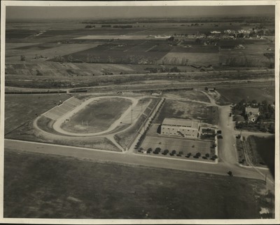
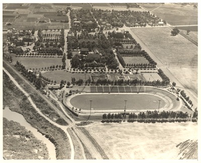
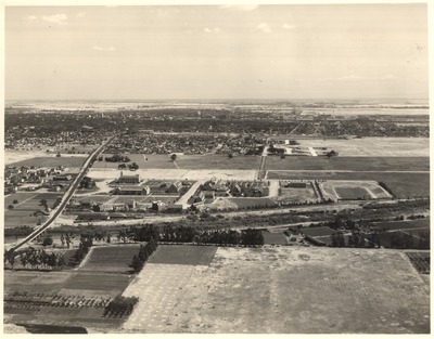
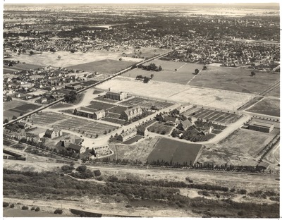
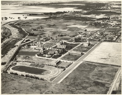
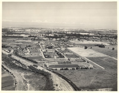
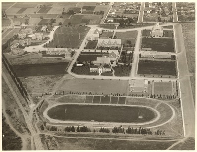
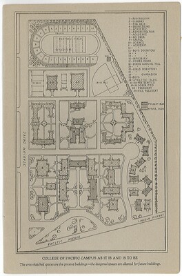
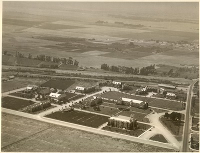
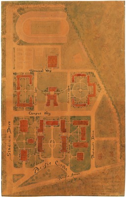
The University of the Pacific's main campus in Stockton was established in 1924. The first campus was in Santa Clara (1852-1871), and later moved to San Jose (1871-1924). The original buildings on the Stockton campus were designed in the English Tudor Gothic style, and this architectural approach has been maintained in subsequent construction. These aerial photographs and maps document the growth of the University of the Pacific over time, as well as the surrounding area of Stockton. They are from the University Records located in Special Collections.
Printing is not supported at the primary Gallery Thumbnail page. Please first navigate to a specific Image before printing.


