
Printing is not supported at the primary Gallery Thumbnail page. Please first navigate to a specific Image before printing.
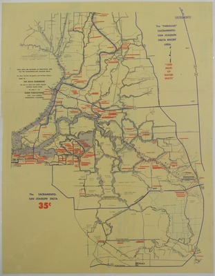
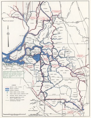
![1000 [one thousand] miles of Navigable Inland Fresh Waterways of the San Joaquin Delta](http://scholarlycommons.pacific.edu/msjsd/1021/preview.jpg)

-

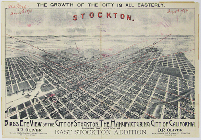
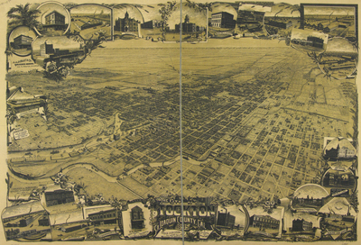
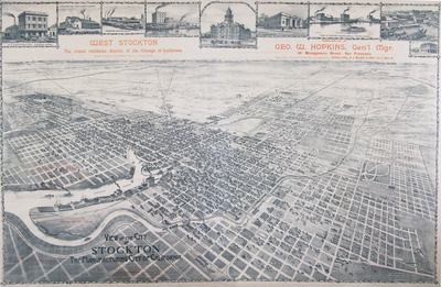
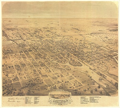
Birds Eye View of the city of Stockton, San Joaquin County, California
-

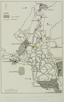
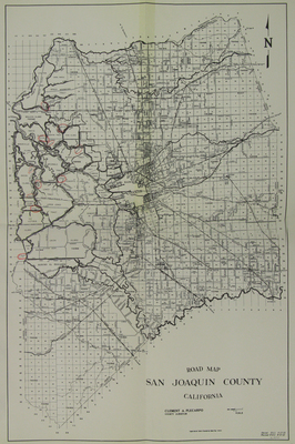
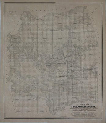
Index Map San Joaquin County. Showing All Tracts of Land, Purchased or Located Upon, In the County to April 1st 1862. and Character of Original Titles also Countyroads, Ferries etc etc Compiled from the Books of the U.S. Land Office from the Books of the State Locating Agent and from Surveys of Duncan Beaumont, George E. Drew, Joseph P. Neall. Original Drawing Approved and Purchased by the Board of Supervisors May 1st, 1862. Drawn and Published by H.P. Handy.
-
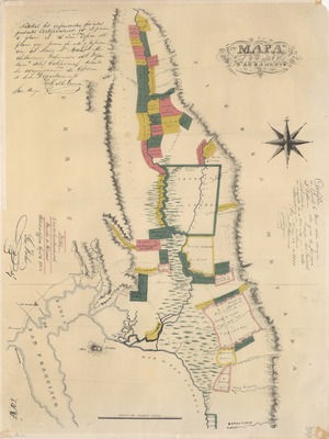
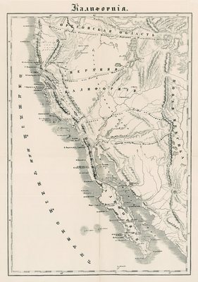
![Mapa del Valle del Sacramento (facsimile) by [John Bidwell]](http://scholarlycommons.pacific.edu/msjsd/1027/thumbnail.jpg "Mapa del Valle del Sacramento (facsimile) by [John Bidwell]")
Mapa del Valle del Sacramento (facsimile)
-
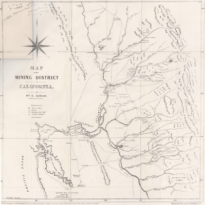
 by William A. Jackson")
Map of the Mining District of California (facsimile)
-

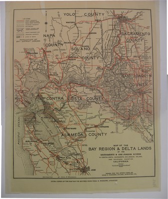
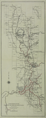
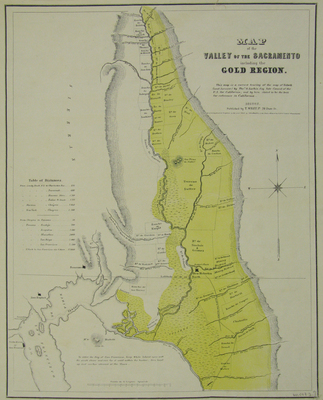
Map of the Valley of the Sacramento Including the Gold Region