
Printing is not supported at the primary Gallery Thumbnail page. Please first navigate to a specific Image before printing.


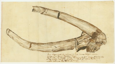
![Animals - Alepidosanms [Alepidosaurus] Borealis](http://scholarlycommons.pacific.edu/jmd/1037/preview.jpg)


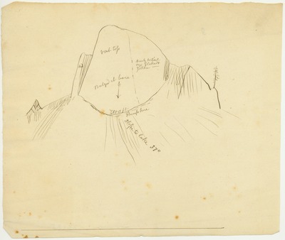


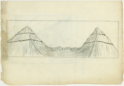
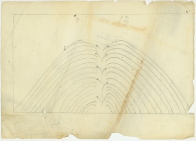


![Sierra Nevada - [Snow Banners]](http://scholarlycommons.pacific.edu/jmd/1327/preview.jpg)
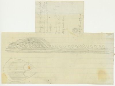
![Sierra Nevada - [Snow Banners]](http://scholarlycommons.pacific.edu/jmd/1326/preview.jpg)

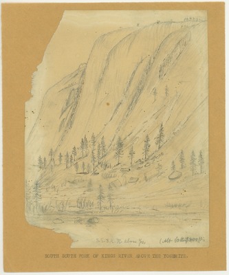


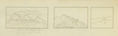
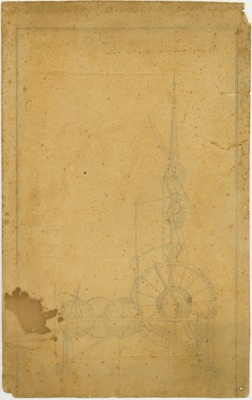
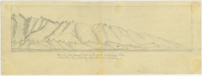
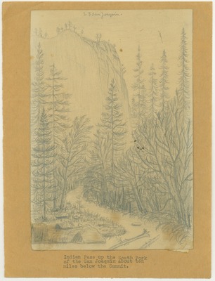
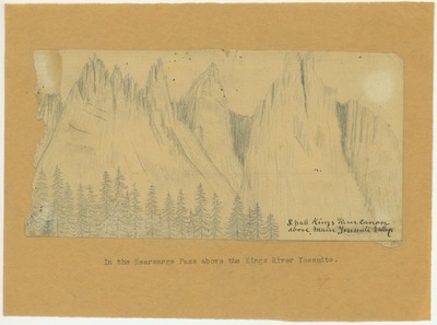
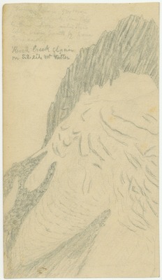
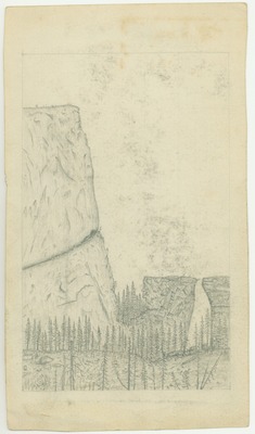
![Sierra Nevada - Unidentified [Found with Kings River Sketches]](http://scholarlycommons.pacific.edu/jmd/1292/preview.jpg)
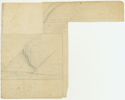
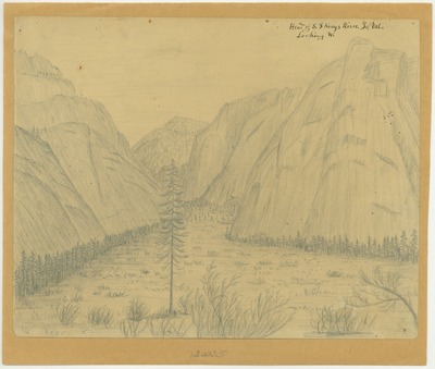
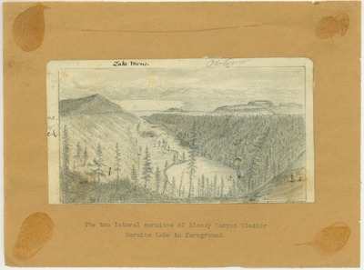
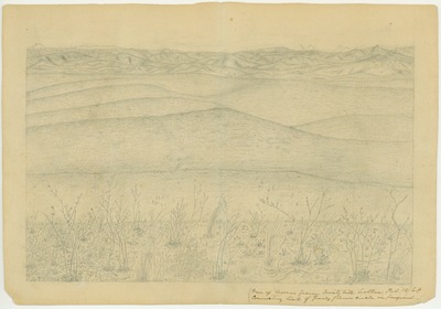
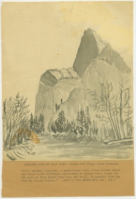
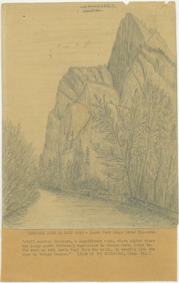
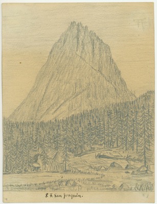
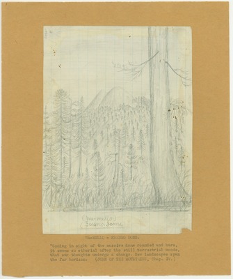
![Sierra Nevada - Unidentified [Found with Yosemite Sketches]](http://scholarlycommons.pacific.edu/jmd/1304/preview.jpg)
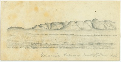


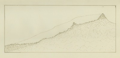
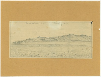
![Sierra Nevada - Mountains - Near Snellings [Snelling] Merced Co Cal](http://scholarlycommons.pacific.edu/jmd/1388/preview.jpg)


-

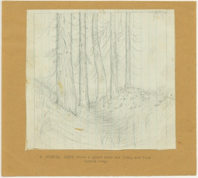
Trees - A Sequoia Ditch Where the Great Tree Has Lain, and Been Burned Away
-

Trees - California Torreya in Merced Canyon Below Yosemite
-

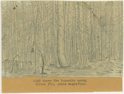
Trees - Camp Fire Above the Yosemite Among Silver Fir, Abies Magnifica
-

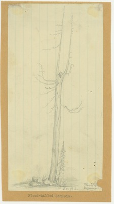
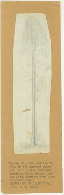
Trees - Flood-Killed Sequoia, 200 Feet High
-

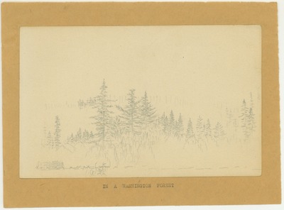
Trees - In a Washington Forest
-

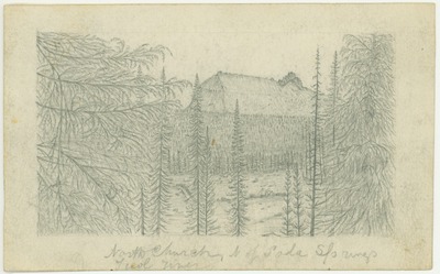
Trees - North Church, North of Soda Springs, Tuolumne River
-

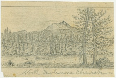
Trees - North Tuolumne Church
-

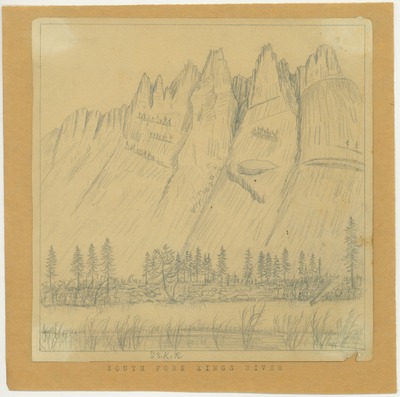
Trees - Pinus Aristata, Kings River