

Preview
Transcription
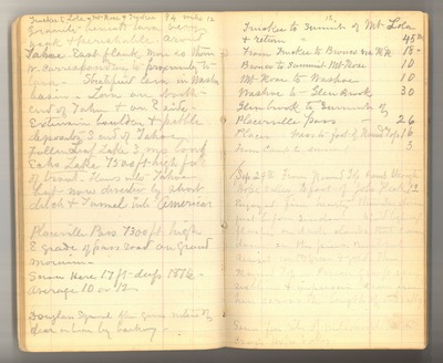
12 Truckee to Lola – Mt Rose & Truckee 94 miles granite beneath lava very weak & perishable. around Tahoe East flank more so than W. corresponding to proximity to lava. Stratified lava in Washoe basin. Lava on north end of Tahoe & on E side. Extensive boulder & pebble deposits S end of Tahoe. Fallen Leaf Lake 3 ms long Echo Lake 7500 ft high full of trout. Flows into Tahoe but now diverted by short ditch & tunnel into American Placerville Pass 7300 ft high E grade of pass road on grand [moraine]. Snow here 17 ft deep 1876 Average 10 or 12. Douglass Squirrel often gives notice of [deer] or [bear] by barking. 13 Truckee to Summit of Mt Lola & return = 45 mi From Truckee to Bronco via RR 18 mi Bronco to Summit Mt Rose 10 Mt Rose to Washoe 10 Washoe to Glen Brook 30 Glenbrook to Summit of Placerville Pass 26 Placer Pass to foot of [Round] [Top] 16 From Camp to summit 3 Sep 29th From Round Top Camp through Hope Valley to foot of Jobs Peak 12 Enjoyed fine hearty thunder storm just before sundown. Vivid lighting flashes on dark clouds that [came] down on the pines. Beautiful sunset with green & gold then Round Top of Carson group very sublime & impressive seen from here across the length of the valley Some [ ] [ribes] of [ ] [ ] [ ] cross Hope Valley
Date Original
1878
Source
Original journal dimensions: 10 x 17 cm.
Resource Identifier
MuirReel25Journal06P012-013.tif
Publisher
Holt-Atherton Special Collections, University of the Pacific Library
Rights Management
To view additional information on copyright and related rights of this item, such as to purchase copies of images and/or obtain permission to publish them, click here to view the Holt-Atherton Special Collections policies.
Keywords
John Muir, journals, drawings, writings, travel, journaling, naturalist
